Showing most recent first, in descending order
5 images in cluster Area in TQ1361
Image clustering - assigning images labels - is an automated process, based on the image title/description. It's not totally accurate, and can sometimes assign images to odd clusters
in TQ1361, near Fairmile/TQ1261
Explore these images in the Browser or Explore matching images including in surrounding squares (if any!)
Other Automatic clusters in TQ1361
- Esher Common
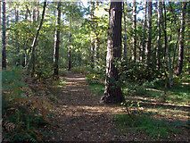
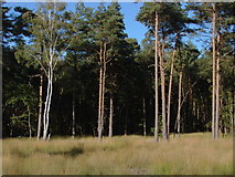
- Woods
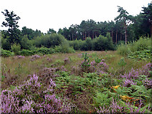
- Area
- Sandy Lane
- Oxshott Heath
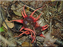
- Aseroe Rubra
- Ridings
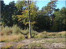
- Tree
- Path
- Fly
- Car Park
- Bridleway
- Anemone Stinkhorn