Showing most recent first, in descending order
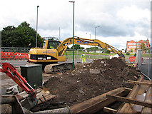
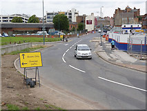
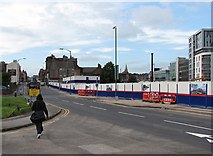
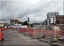
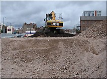
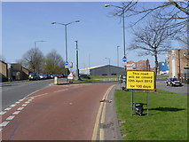
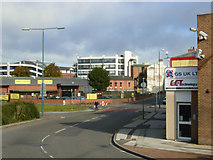
11 images in cluster Arkwright Street in SK5738
Image clustering - assigning images labels - is an automated process, based on the image title/description. It's not totally accurate, and can sometimes assign images to odd clusters
in SK5738, near West Bridgford
Explore these images in the Browser or Explore matching images including in surrounding squares (if any!)
Other Automatic clusters in SK5738
- Queen's Walk
- Queen's Walk on its Way
- City
- London Road
- Robin Hood Way
- Nottingham Canal
- Trent Bridge
- Meadows in the 1970s
- Canal Bridge
- East
- Arkwright Walk
- Clifton Line
- Tramway to Cross
- Sheriffs Way
- Railway Station
- Tram Stop
- Corner
- South
- Wilford Crescent
- Clifton Route
- Closed
- Victorian Houses
- Victoria Embankment
- Victorian Street
- Ordnance Survey Benchmark
- Junction of the two Routes
- River Trent
- Remains
- Bathley Street
- Shops
- Houses Built
- Top of Queen's Walk
- Wilford Grove
- Beeston Canal
- Pedestrian Crossing
- Gresham Works
- Tracks are Laid
- Ordnance Survey Cut Mark Benchmark Described
- View Showing
- Looking North
- Victorian Terraced
- Demolished in the 1970s
- Community Centre
- Tower of St Mary's Church
- Left Hand
- Bright September Morning
- Old and New
- Pedestrian Subway has been Filled
- Traffic on London Road
- Bus Services
- Factory Building
- St Mary's Church in the Lace Market
- Traffic Lights
- Avenue of Trees
- Southern end of Victorian Wilford Crescent
- Story pole on the Right
- Toton Lane
- Completed and will Open later in 2015
- Poles are in Place
- Great Central Railway from Nottingham Victoria
- Pilgrim Church
- Stop Area
- Nearly Ready
- Removed as Part
- Kirkewhite Walk
- Following Day
- Place of Worship
- West Bridgford
