Showing most recent first, in descending order
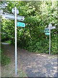
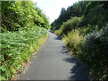
2 images in cluster Ayrshire Coastal Path in NS2052
Image clustering - assigning images labels - is an automated process, based on the image title/description. It's not totally accurate, and can sometimes assign images to odd clusters
in NS2052, near Fairlie, taken Saturday, 14 July, 2018, by Thomas Nugent
Explore these images in the Browser or Explore matching images including in surrounding squares (if any!)
All images  © Thomas Nugent and licensed for reuse under this Creative Commons Licence
Other Automatic clusters in NS2052
- Glen Burn at Biglees Waterfall
- Hunterston Roundabouts
- North Ayrshire
- Biglees Waterfall Upper Falls
- Level Crossing on Reservoir Road
- Hill
- Covered Reservoir
- Power Station
- Gate on Reservoir Road
- Conveyor
- Fairlie
- Biglees Waterfall Lower Falls
- Biglees Waterfall Upper Falls North Ayrshire
- Hunterston Coal Yard
- Hunterston High Level
- Dalry Moor Road
- Biglees Hill
- National Offshore Wind Turbine Test Facility
- Ayrshire Coastal Path
- Outloading Station
- 1970s as a Deep-water Ore Terminal