Showing most recent first, in descending order
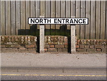
46 images in cluster B1121 North Entrance in TM3863 Image clustering - assigning images labels - is an automated process, based on the image title/description. It's not totally accurate, and can sometimes assign images to odd clusters
in TM3863 , near Saxmundham
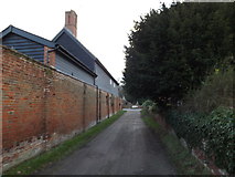
Lane near Wintergreen House When: 22 January, 2015 By: Geographer
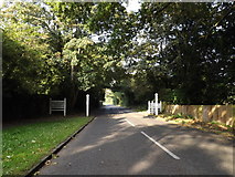
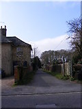
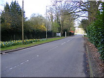
Entering Kelsale Cum Carlton on the B1121 North Entrance When: 22 September, 2014 By: Geographer
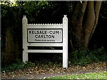
Kelsale Cum Carlton Village Name sign When: 22 September, 2014
By: Geographer
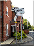
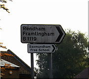
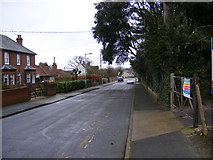
Roadsign on the B1119 Fairfield Road When: 22 September, 2014
By: Geographer
Roadsign
on the B1119 Fairfield Road When: 22 September, 2014
By: Geographer
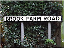
Brook Farm Road sign When: 26 October, 2013 By: Geographer
B
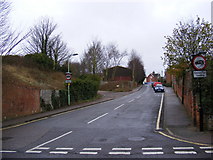
1121 North Entrance, Saxmundham When: 24 October, 2013 By: Geographer
B1121
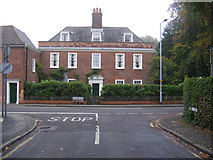
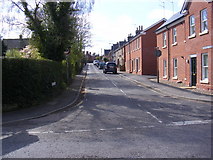
High Street, Saxmundham When: 24 October, 2013
By: Geographer
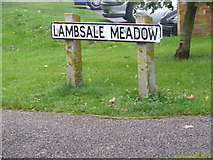
Lambsale Meadow sign When: 22 October, 2012 By: Geographer
Lambsale Meadow
, Saxmundham When: 22 October, 2012
By: Geographer
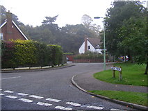
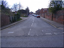
B1121 North Entrance, Saxmundham When: 22 October, 2012
By: Geographer
B11
19 Fairfield Road, Saxmundham When: 22 October, 2012
By: Geographer
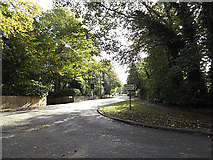
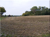
Looking towards the B1121 Main Road & Rookery Wood When: 8 October, 2012 By: Geographer
North Entrance sign When: 23 March, 2012 By: Geographer
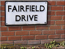
Fairfield Drive sign When: 23 March, 2012
By: Geographer
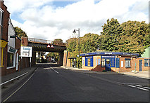
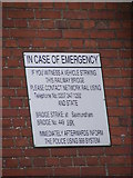
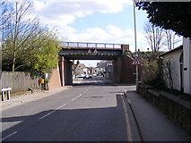
Railway Bridge Identification sign When: 21 February, 2012 By: Geographer
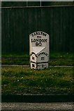
Old Milepost by the B1121, Main Road, Saxmundham When: 30 June, 2011 By: C.Haines
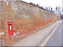
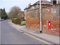
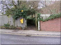
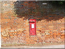
North Entrance George V Postbox When: 29 March, 2011 By: Geographer
B1121 North Entrance & North Entrance George V Postbox When: 29 March, 2011
By: Geographer
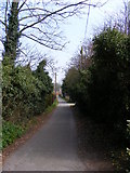
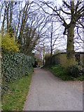
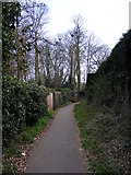
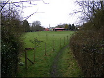
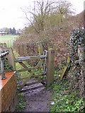
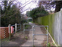
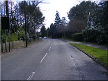
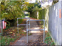
Footpath to the B1121 North Entrance When: 29 March, 2011
By: Geographer
Footpath to the B1121 North Entrance
When: 29 March, 2011
By: Geographer
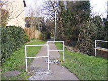
Footpath to the B1121 North Entrance
When: 29 March, 2011
By: Geographer
Footpath to the B1121 North Entrance
When: 29 March, 2011
By: Geographer
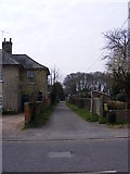
Harpers Lane footpath to Henley Close When: 29 March, 2011
By: Geographer
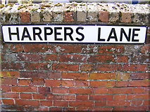
Harpers Lane
sign When: 29 March, 2011
By: Geographer
Fairfield Drive & North Entrance George V Postbox When: 5 March, 2011 By: Geographer
Fairfield
Road, Saxmundham When: 5 March, 2011
By: Geographer
St John's Road sign When: 5 March, 2011
By: Geographer
St
.John's Road, Saxmundham When: 5 March, 2011
By: Geographer
Footpath to Clay Hills When: 5 March, 2011
By: Geographer
Footpath
gate on the footpath to Clay Hills When: 5 March, 2011
By: Geographer
Footpath
to Clay Hills When: 5 March, 2011
By: Geographer
Footpath to Clay Hills
When: 5 March, 2011
By: Geographer
Harpers Lane footpath to Henley Close When: 3 March, 2011 By: Geographer
Harpers Lane footpath to Henley Close
When: 3 March, 2011
By: Geographer
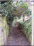
Path to Deben Road When: 3 March, 2011
By: Geographer
Path to
the B1121 North Entrance When: 3 March, 2011
By: Geographer
B1119 Fairfield Road, Saxmundham When: 8 April, 2009 By: Geographer
St.John's Road, Saxmundham When: 8 April, 2009
By: Geographer
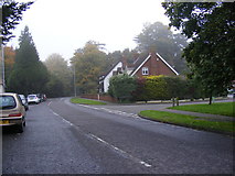
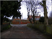
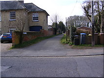
B1121 North Entrance When: 8 April, 2009
By: Geographer
B1121 North Entrance
, Saxmundham When: 8 April, 2009
By: Geographer
B1121 North Entrance, Saxmundham
When: 8 April, 2009
By: Geographer
Path to Deben Road When: 31 October, 2008 By: Geographer
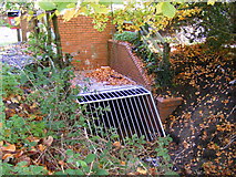
Drain Grid in the Gull Stream When: 31 October, 2008
By: Geographer
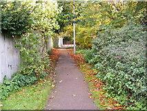
Path to the B1121 North Entrance When: 31 October, 2008
By: Geographer
North Entrance George V Postbox When: 31 October, 2008
By: Geographer
Explore these images in the Browser or Explore matching images including in surrounding squares (if any!)
Other Automatic clusters in TM3863
B1121 Road at the Junction High Street B1119 Saxmundham Station Saxmundham High Street Near Saxmundham Looking towards Saxmundham B1121 High Street River Fromus Brook Farm Road B1121 North Entrance Abbotts Grange Housing Estate Road No.U2526 East Station Approach Building Junction with the B1119 Hill Junction with Brook Farm Road River Alde Flows through the Town Waitrose Supermarket Path Public House Junction with the B1121 North Entrance Bridge Level Crossing Chapel Road New Cut Saxmundham Sports Primary School Postbox No.IP17 Car Park Henley Close Bell Hotel Taken from the Footpath Looking towards the B1121 South Entrance Warren Avenue Century Shop Fromus Square Mill Rise Level Crossing on Station Approach Carlton Churchyard Post Office Station Approach Near Branch Line Alma Place Old Bell Yard Footpath Off Felsham Rise View North Footpath to Seamans Avenue High St Junction with Albion Power Station Rise Sign View of the Church Mill Rd Taken from Waitrose Orwell Avenue Looking West Elm Close River Fromus Off the Footbridge Club Entrance Lane Near Fairfield Drive Howards Walk Railway Viaduct Looking Northwards