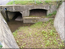
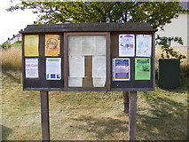
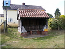
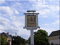
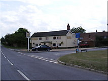
Showing most recent first, in descending order
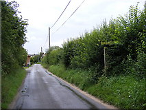
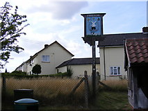
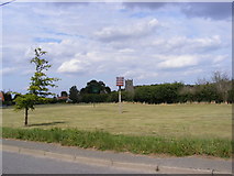
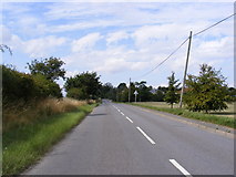
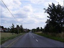
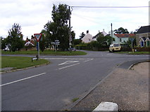
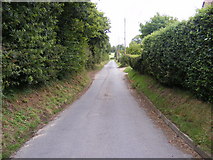
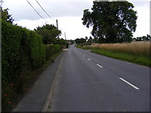
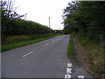
22 images in cluster B1121 Saxmundham Road in TM4160
Image clustering - assigning images labels - is an automated process, based on the image title/description. It's not totally accurate, and can sometimes assign images to odd clusters
in TM4160, near Friston/TM4160, by Geographer
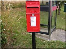
When: 21 July, 2011
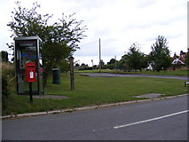
When: 21 July, 2011
When: 21 July, 2011
When: 21 July, 2011
When: 21 July, 2011
When: 21 July, 2011
When: 21 July, 2011
When: 17 August, 2009
When: 17 August, 2009
When: 17 August, 2009
When: 17 August, 2009
When: 17 August, 2009
When: 17 August, 2009
When: 17 August, 2009
When: 17 August, 2009
When: 17 August, 2009
When: 20 July, 2009
When: 20 July, 2009
When: 20 July, 2009
When: 20 July, 2009
When: 20 July, 2009
When: 20 July, 2009
Explore these images in the Browser or Explore matching images including in surrounding squares (if any!)
All images  © Geographer and licensed for reuse under this Creative Commons Licence
Other Automatic clusters in TM4160
- St Mary Magdalene
- Lane
- Friston Church the Footpath to Grove Road
- Low Road
- B1121 Aldeburgh Road
- Knodishall Footpath
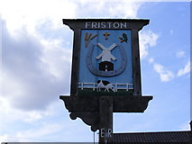
- Looking towards Friston
- B1121 Saxmundham Road
- Footpath to Low Road Chase's Lane
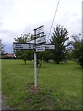
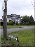
- Sign
- Church Path
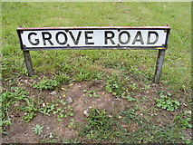
- Junction with Grove Road
- Friston Footpath No.25
- Near
- St.Mary the Virgin Church
- Footpath to Friston Moor
- Post Mill
- Memorial
- Churchyard
- Friston Windmill
- Stile
- Tower
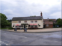
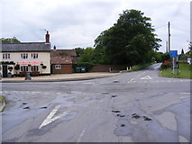
- Old Chequers Public House
- Balcony
- Sandlings Walk Footpath to Sloe back Lanes
- Window
- Pond
- Seen
- Bridleway
- Friston Baptist Church
- Pulpit
- St Mary the Virgin Church
- Village Green
- Mill Road Postbox
- Entrance to Woodside Farm Orchard Bank
- Amendment Notice
- Inside of St.Mary the Virgin Church
- Long
- Plans for the Museum Included a Windmill
- Mark
- Woodland within the Bounds of the Parish