Showing most recent first, in descending order
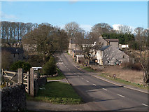
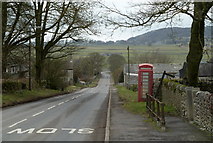
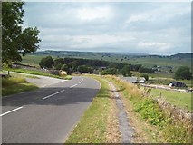
8 images in cluster B6465 in SK1874
Image clustering - assigning images labels - is an automated process, based on the image title/description. It's not totally accurate, and can sometimes assign images to odd clusters
in SK1874, near Wardlow/SK1874
Explore these images in the Browser or Explore matching images including in surrounding squares (if any!)
Other Automatic clusters in SK1874
- Near Wardlow
- B6465
- Sheep Grazing
- Dry Stone Walls
- Fields
- Footpath
- Peak District
- Linear Village
- Limestone Country
- B6465 Road
- Hey Farm
- Limestone Outbuilding
- Sunlight
- Starlings
- Pub
- Postbox
- Phonebox
- Church of the Good Shepherd
- Hall Farm
- Longstone Moor
- Telephone Box