Showing most recent first, in descending order
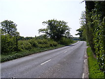
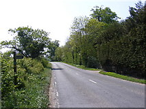
5 images in cluster Bramfield Footpath in TM3973
Image clustering - assigning images labels - is an automated process, based on the image title/description. It's not totally accurate, and can sometimes assign images to odd clusters
in TM3973, near Bramfield/TM4073, taken Friday, 6 May, 2011, by Geographer
Explore these images in the Browser or Explore matching images including in surrounding squares (if any!)
All images  © Geographer and licensed for reuse under this Creative Commons Licence
Other Automatic clusters in TM3973
- Walpole Road
- Church is unique in Suffolk
- Road at the Junction
- Screen
- A144 the Street
- Arthur
- Bramfield War Memorial
- Farm
- Stained Glass Window
- Near
- Queens Head
- A144 Halesworth Road
- Railway Bridge
- Beautiful Medieval Screen
- Crinkle-crankle Wall
- Bell Inn Public House
- Entrance
- Crinkle Crankle Wall
- Hatchment
- Font
- Building
- Bramfield Village Sign
- Bramfield Footpath
- Altar
- Nave
- Churchyard
- Roll of Honour
- Porch
- Ledger
- Cottages
- Organ
- West and to Thorington and Wenhaston
- Sanctuary
- Tomb Memorial
- Chair
- Edwards Lane
- Piscina
- Permissive Paths Map
- Clarke Butchers
- Garden Gate
- Postbox