Showing most recent first, in descending order
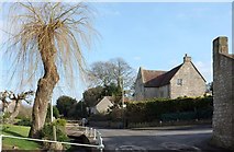
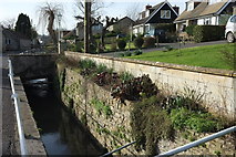
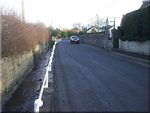
3 images in cluster Brook Runs in ST6560
Image clustering - assigning images labels - is an automated process, based on the image title/description. It's not totally accurate, and can sometimes assign images to odd clusters
in ST6560, near Hobbs Wall
Explore these images in the Browser or Explore matching images including in surrounding squares (if any!)
Other Automatic clusters in ST6560
- House
- Bath Road
- Love's Lane
- Poor Hill
- Conygre Brook
- A39 Bath Road
- Hobb's Wall
- Bridleway CL 9/48
- Conygre House
- Near Farmborough
- Top of Poor Hill
- Signs
- Ordnance Survey Cut Mark
- Village Street
- Cottages
- Brook Runs
- Farmland Near Farmborough
- Old Bell
- Chapel
- Bridleway CL 9/48 Runs
- Basketball
- Hall