Showing most recent first, in descending order
12 images in cluster Broomfield Farm in TQ3817
Image clustering - assigning images labels - is an automated process, based on the image title/description. It's not totally accurate, and can sometimes assign images to odd clusters
in TQ3817, near South Chailey
Explore these images in the Browser or Explore matching images including in surrounding squares (if any!)
Other Automatic clusters in TQ3817
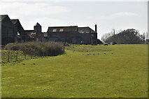
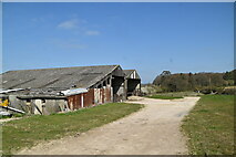
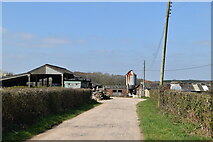
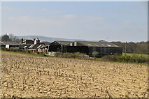
- Broomfield Farm
- Southam Wood
- Field According to the 1838 Tithe Map
- House
- Wood on South Common
- Windmill
- Cul-de-sac off Mill Lane
- Secondary School
- Middle Home Wood
- Hattons Green
- Close
- Chatfield Field
- Bank
- Junction with the A275
- Track
- Road
- Shepherds Way
- Trees
- Pond
- Hedge
- Footpath that Links
- Farmhouse
- Drive
- Converted Barn
- Acre