Showing most recent first, in descending order
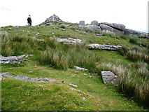
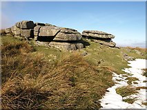
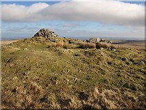
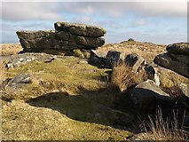
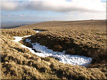
5 images in cluster Cairn in SX6767
Image clustering - assigning images labels - is an automated process, based on the image title/description. It's not totally accurate, and can sometimes assign images to odd clusters
in SX6767, near Michelcombe
Explore these images in the Browser or Explore matching images including in surrounding squares (if any!)
Other Automatic clusters in SX6767
- Pupers Rock
- Track
- Buckfastleigh Moor
- Moors Way
- Lud Gate
- Path
- Cairn
- Ridge
- Snowdon
- Moorland
- Outer Pupers
- Boundary
- Snowdon and Puper's Hill
- Tin Working
- Standing Stone
- Pile
- Dartmoor Atlas of Antiquities
- View of 1182196