Showing most recent first, in descending order
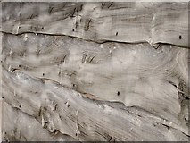
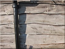
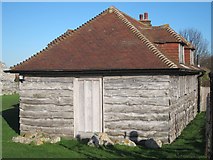
3 images in cluster Cedar Cladding in TR3260
Image clustering - assigning images labels - is an automated process, based on the image title/description. It's not totally accurate, and can sometimes assign images to odd clusters
in TR3260, near Sandwich, taken Friday, 27 January, 2012, by Oast House Archive
Explore these images in the Browser or Explore matching images including in surrounding squares (if any!)
All images  © Oast House Archive and licensed for reuse under this Creative Commons Licence
Other Automatic clusters in TR3260
- River Stour
- Saxon Shore Way
- Roman Fort Built
- Castle Walls
- Richborough Power Station
- Looking
- Sandwich
- Footpath
- Great Stour
- Wall Interior
- Saxon Shore Fort North Wall Exterior
- Trees
- Railway Line
- Watling Street
- Ditches were Fairly Shortlived and were Filled
- Car Park
- West Gate
- Chapel of St Augustine
- Baptismal Font
- Arch
- Ticket Office
- Visitor Centre
- Viewed from Richborough Road
- North Postern Gate
- Cedar Cladding
- Face
- Floodplain
- Joins the Saxon Shore Way
- Kent Coast Line
- Western Wall
- Following
- Construction
- C4th Baptismal Font
- Aerial 2018