Showing most recent first, in descending order
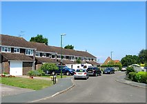
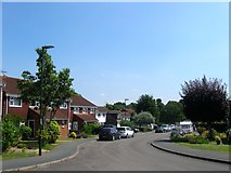
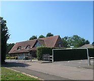
3 images in cluster Chantry Close in TQ2116
Image clustering - assigning images labels - is an automated process, based on the image title/description. It's not totally accurate, and can sometimes assign images to odd clusters
in TQ2116, near Henfield/TQ2116, taken Sunday, 9 July, 2017, by Simon Carey
Explore these images in the Browser or Explore matching images including in surrounding squares (if any!)
All images  © Simon Carey and licensed for reuse under this Creative Commons Licence
Other Automatic clusters in TQ2116
- St Peter
- High Street
- Church Street
- Deer Park
- Junction
- Furners Lane
- Houses in Deer Park
- Field According to Henfield's 1844 Tithe Map
- Wantley Hill
- Inside St Peter
- Sussex
- Parsonage Road
- Building Dates
- Stained Glass Window
- Near Henfield
- Wantley Hill Estate
- Shops
- Churchyard
- White Hart
- London Road
- Fawn Rise
- Pair of Cottages
- Tan Yard
- Rear View
- Meadow Drive
- Furners Mead
- Cemetery Extension
- Mallard Way
- Memorial
- Martyn Lodge
- Evangelical Free Church
- Bell
- Chantry Close
- Bank
- Corpus Christi Catholic Church
- Restored
- Footpath that Runs
- Post Office
- Sobell Court
- Cul de Sac off Broomfield Road
- Rear View of Houses on Church Terrace
- Villa
- Parish Hall
- North is 5357275
- Edge of the Village