Showing most recent first, in descending order
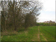
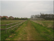
6 images in cluster Chestfield in TR1466
Image clustering - assigning images labels - is an automated process, based on the image title/description. It's not totally accurate, and can sometimes assign images to odd clusters
in TR1466, near Chestfield
Explore these images in the Browser or Explore matching images including in surrounding squares (if any!)
Other Automatic clusters in TR1466
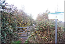
- Footpath to Molehill Road
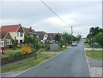
- Chestfield
- Rabbit Shaw
- Leads
- Ash Plantation
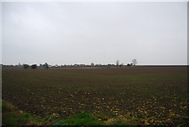
- Field
- Footpath on the Left
- Footpath off Molehill Rd
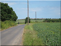
- Thanet Way
- Path Leads
- Ploughed Field
- Near Ash Plantation
- Mead Meadow
- Maydowns Road has been Re-routed Compared
- Approaching
- Farmland
- Wheat