Showing most recent first, in descending order
8 images in cluster Christ Church in SJ8748
Image clustering - assigning images labels - is an automated process, based on the image title/description. It's not totally accurate, and can sometimes assign images to odd clusters
in SJ8748, near Stoke-on-Trent
Explore these images in the Browser or Explore matching images including in surrounding squares (if any!)
Other Automatic clusters in SJ8748
- Festival Park
- Cobridge Road
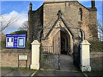
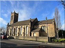
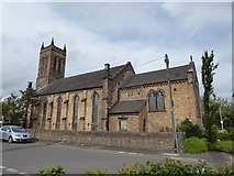
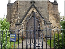
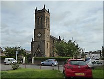
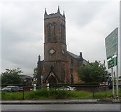
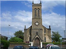
- Christ Church
- Cobridge Park
- Elder Road
- Path
- Festival Heights
- Festival Park by Night
- House
- Car
- Cycleway on Central Forest Park
- Cobridge Community Health Centre
- Shop
- Sneyd Street
- Raven
- Morrisons Filling Station
- Woods
- Entrance
- Greyhound Way
- John Baskeyfield Memorial Statue
- Table Tennis
- Currys PC World
- Right is Cobridge Community Health Centre
- Renew
- Railway Bridge beside the A53
- Portland Street
- Play Area
- A50 Waterloo Road in Stoke