Showing most recent first, in descending order
8 images in cluster Church Lane in TM1041
Image clustering - assigning images labels - is an automated process, based on the image title/description. It's not totally accurate, and can sometimes assign images to odd clusters
in TM1041, near Mace Green
Explore these images in the Browser or Explore matching images including in surrounding squares (if any!)
Other Automatic clusters in TM1041
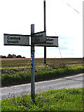
- Lane to Washbrook
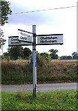
- Chattisham Road
- Junction with Saxon Lane
- Wenham Road Footpath
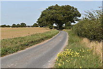
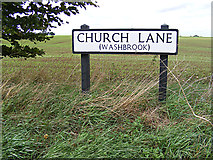
- Church Lane
- Hollow Road
- Mace Green
- Coles Green Farm
- Stud Farm
- Copdock
- Sign
- Near Saxon Lane
- Roadsign on Chattisham Road
- Footpath Entrance to Fen Farm
- Field
- Greenfield
- Copdock Washbrook