Showing most recent first, in descending order
29 images in cluster Clapham Village in SD7469
Image clustering - assigning images labels - is an automated process, based on the image title/description. It's not totally accurate, and can sometimes assign images to odd clusters
in SD7469, near Clapham/SD7469

Explore these images in the Browser or Explore matching images including in surrounding squares (if any!)
Other Automatic clusters in SD7469
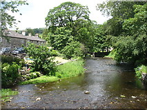
- Clapham Beck
- Clapham Church
- St James's Church
- Bridge over Clapham Beck
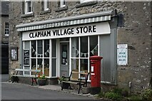
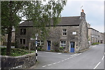
- Clapham Village
- Ordnance Survey Benchmark
- Grade II Listed
- Ingleborough Estate
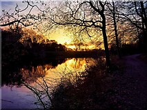
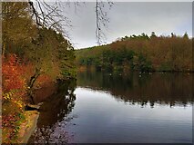
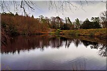
- Riverside
- Bench Mark
- Church Avenue
- Clapdale Drive
- Thwaite Lane
- Brokken Bridge
- Footbridge
- Clapham Falls
- North Yorkshire
- Stone Bridge
- Cross
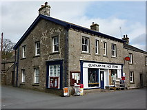
- Post Office
- Ordnance Survey Cut Mark Benchmark Described
- Station
- Servants Tunnel
- Memorial
- Gatepost at Field Gateway
- Junction of the B6480
- Cave Rescue Organisation
- Station Road
- Row of Cottages
- Stream
- Footpath
- Building Dates
- Interior
- Old Rd
- Near Corner
- Limekiln Plantation
- Waterfall was Constructed in 1837 by Oliver
- Cat Hole Sike
- Sheep
- Known Simply as the Lake
- Tower has been Retained from an Earlier
- Wall of St James's Church
- Dates from the 19th Century
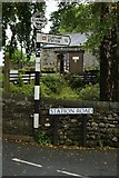
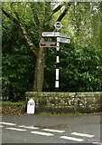
- Direction Sign
- East of the Village
- River Wenning
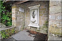
- Fountain
- Near to the New
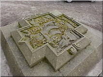
- Millennium Stone Carving
- Manor House
- Yew Tree