Showing most recent first, in descending order
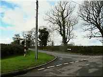
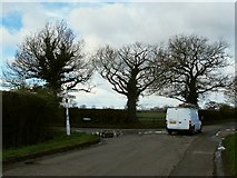
2 images in cluster Close-up of the Road Sign in SJ7365
Image clustering - assigning images labels - is an automated process, based on the image title/description. It's not totally accurate, and can sometimes assign images to odd clusters
in SJ7365, near Sproston Green, taken Tuesday, 29 March, 2016, by Stephen Craven
Explore these images in the Browser or Explore matching images including in surrounding squares (if any!)
All images  © Stephen Craven and licensed for reuse under this Creative Commons Licence
Other Automatic clusters in SJ7365
- Dawfields
- Brereton Lane
- Sproston Green
- Old Signpost on Jones's Lane
- Broad Lane Farm
- Cledford Lane
- Building
- Broadlane Farm
- Poultry
- Walkers Green
- Metal Shed
- Forgotten that I had Taken a Photo
- Close-up of the Road Sign
- West