Showing most recent first, in descending order
6 images in cluster Coast Road in NZ3866
Image clustering - assigning images labels - is an automated process, based on the image title/description. It's not totally accurate, and can sometimes assign images to odd clusters
in NZ3866, near South Shields
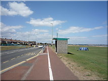
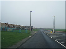
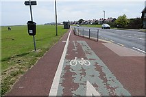
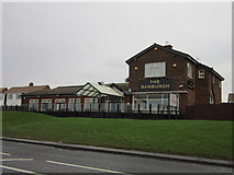
When: 1 October, 2006
By: Bill Henderson
Explore these images in the Browser or Explore matching images including in surrounding squares (if any!)
Other Automatic clusters in NZ3866
- Trow Point
- Grahams Sands
- South Beach
- Coast
- Low Tide on the 7th May 2008
- Southern Bay
- Trow Lea
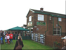
- Public House
- Promenade
- Frenchman's Bay
- Coast Road
- Gun on Trow Point
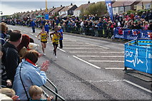
- Finish of the Great North Run
- Rock
- Near
- Looking North
- Disappearing Gun
- Trow Quarry Grahams Sands
- Sea
- View from National Cycle Route
- Waters Edge
- Coastal Path
- Old Quarry
- North across Frenchman's Bay
- Surfing Area
- Mouth of the River Tyne
- Mango's Pub
- Herd Sand
- Near Trow Point