Showing most recent first, in descending order
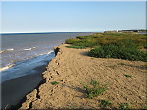
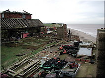
6 images in cluster Coastal Erosion in TA3525
Image clustering - assigning images labels - is an automated process, based on the image title/description. It's not totally accurate, and can sometimes assign images to odd clusters
in TA3525, near Withernsea
Explore these images in the Browser or Explore matching images including in surrounding squares (if any!)
Other Automatic clusters in TA3525
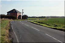
- Holmpton Road
- North Leys Road
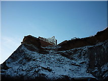
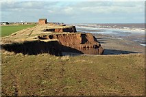
- Clay Cliff
- Coastal Erosion
- Sea
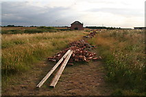
- Farm Buildings
- Eroding Coastline
- Edge
- East
- Smook Hills
- Withernsea
- Sewage Works
- Radar
- New House
- Farmland Near Hollym
- Coast
- Clifftop Near Hollym
- Boulder Clay Cliffs of Holderness's Eroding Coastline