Showing most recent first, in descending order
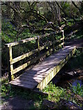
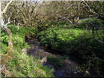
6 images in cluster Corfe River in SY9180
Image clustering - assigning images labels - is an automated process, based on the image title/description. It's not totally accurate, and can sometimes assign images to odd clusters
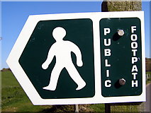
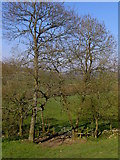
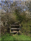
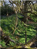
in SY9180, near Kimmeridge, taken Wednesday, 16 April, 2008, by Jim Champion
Explore these images in the Browser or Explore matching images including in surrounding squares (if any!)
All images  © Jim Champion and licensed for reuse under this Creative Commons Licence
Other Automatic clusters in SY9180
- St Michael and All Angels
- Visit
- Steeple Church
- Field
- Summer Visit to Steeple Churchyard
- Bales
- Corfe River
- Michael's and All Angels Church
- Smedmore Hill
- Lane
- Dorset
- Steeple Brook
- Ridge West of Kimmeridge
- Rolled Bales
- Footpath from Hyde Wood to Whiteway Farm
- Tower
- Car Park
- Barrel Organ
- Rows of Bales
- Farmland Opposite
- Range Walks
- Field of Sugar Beet
- Ordnance Survey Benchmark