Showing most recent first, in descending order
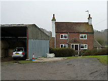
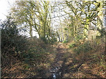
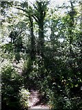
3 images in cluster Cottage in TQ3517
Image clustering - assigning images labels - is an automated process, based on the image title/description. It's not totally accurate, and can sometimes assign images to odd clusters
in TQ3517, near Plumpton Green
Explore these images in the Browser or Explore matching images including in surrounding squares (if any!)
Other Automatic clusters in TQ3517
- Bridleway
- Dean's Farm
- Plumpton Green
- Captains Farm
- West of Inholms Farm
- Field According to the 1839 Tithe Map
- Field According to the 1838 Tithe Map
- Kent's Lane
- Links Upper Streat Green
- Trees
- Gallops Farm
- Footpath Near Plumpton
- Acres
- Cottage
- Field Mark the Parish Boundary between Plumpton
- Near Glebe Farm
- Hortons
- Bluebells in Woods
- Restricted
- Approaching the Plantation
- Northern