Showing most recent first, in descending order
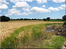
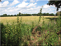
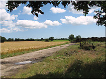
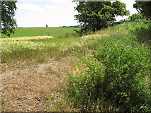
4 images in cluster Crop Fields in TM4077
Image clustering - assigning images labels - is an automated process, based on the image title/description. It's not totally accurate, and can sometimes assign images to odd clusters
in TM4077, near Holton/TM4077, taken Monday, 30 June, 2014, by Evelyn Simak
Explore these images in the Browser or Explore matching images including in surrounding squares (if any!)
All images  © Evelyn Simak and licensed for reuse under this Creative Commons Licence
Other Automatic clusters in TM4077
- Holton Mill
- B1124 Beccles Road
- Bungay Road
- Mill Road
- Church Off the B1124 Beccles Road
- St Peter's Church
- Looking
- Sign
- Mill House
- Churchyard
- Sandy Lane
- Holton Village Centre
- Lord Nelson
- Near
- Junction with Orchard
- Suffolk
- Blyford Lane
- Railway Bridge
- B1124 the Street Postbox No.IP19 5521
- Cottages
- West
- Stained Glass Window
- Visitors on Spring and August Bank Holidays
- Nave
- Orchard Valley Postbox
- Font
- Crop Fields
- Names of the Fallen on the Holton
- Path
- Organ
- Bell Tower
- B1123 Southwold Road
- Taken from Mells Level Crossing
- Stream
- Approaching Holton
- Cut Mark Holton
- Entrance to Woodsend
- Floral Display
- Holton- Ten Commandments
- Orchard View
- Interior View
- Memorial in the Nave
- Pulpit