Showing most recent first, in descending order
12 images in cluster Crow Hall Farm in NZ3274
Image clustering - assigning images labels - is an automated process, based on the image title/description. It's not totally accurate, and can sometimes assign images to odd clusters
in NZ3274, near Holywell/NZ3174
Explore these images in the Browser or Explore matching images including in surrounding squares (if any!)
Other Automatic clusters in NZ3274
- Public Footpath
- Bank of the Burn
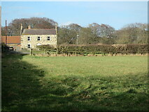
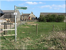
- Crow Hall Farm
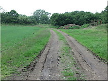
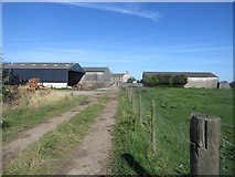
- Track
- Part of Holywell Dene
- Public Bridleway
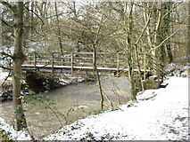
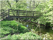
- Footbridge across the Seaton Burn
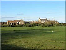
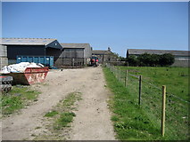
- Near Crow Hall Farm
- Downhill Mountain Bike Course
- Hartley Lane
- Waggonway
- Blyth and Tyne Avenue Branch Line
- Pond Fluctuates According to the Weather
- Field
- Time of 1865 Ordnance Survey Map
- Tunnel Culvert
- Kissing Gate
- Tree
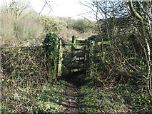
- Stile
- Public Bridleway Heads
- Place
- Old Disused Wagon Way
- Marks the Boundary
- Heavily Wooded
- Grazing
- Early Spring
- Well-used through Route For Cyclists and Walkers