Showing most recent first, in descending order
10 images in cluster Dee Estuary in SJ2484
Image clustering - assigning images labels - is an automated process, based on the image title/description. It's not totally accurate, and can sometimes assign images to odd clusters
When: 22 September, 2017
By: Ian Greig
Explore these images in the Browser or Explore matching images including in surrounding squares (if any!)
Other Automatic clusters in SJ2484
- St Bartholomew's Church
- Top of the Hill
- School Lane
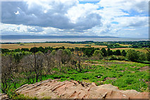
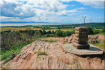
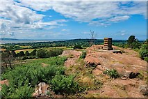
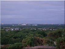
- View from Thurstaston Hill
- Telegraph Road
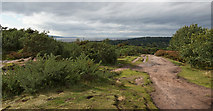
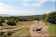
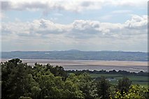
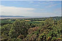
- Dee Estuary
- Thurstaston Recreation Ground Boundary Stone
- Benty Farm
- Direction
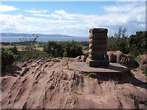
- Thor's Stone
- Marker
- Wider View
- Built
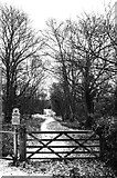
- Entrance
- Sandstone Outcrop
- Path to Benty Farm
- Dawpool School
- Access to Thurstaston Common
- Approaching
- Looking East
- Caldy
- Point of Ayr
- Stile
- River Dee
- Heatherlands
- Gates to Thurstaston Hall
- Footpath to Irby
- Older Church's Tower
- Rock Carvings
- Stile on Path