Showing most recent first, in descending order
images in cluster Dewley Farm in NZ1667
Image clustering - assigning images labels - is an automated process, based on the image title/description. It's not totally accurate, and can sometimes assign images to odd clusters
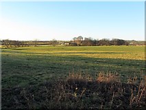
in NZ1667, near North Walbottle, taken Friday, 22 November, 2013, by Andrew Curtis
Explore these images in the Browser or Explore matching images including in surrounding squares (if any!)
All images  © Andrew Curtis and licensed for reuse under this Creative Commons Licence
Other Automatic clusters in NZ1667
- Dewley Farm
- Dewley Burn
- Road
- Line of former Waggonway
- East of Dewley Farm
- Field
- Underpass under the A69
- Throckley
- Near
- Dewley Burn in Walbottle Dene
- Path
- South
- Cutend
- Track
- Coal
- Fell House
- Near Talbot House School
- Public Footpath