Showing most recent first, in descending order
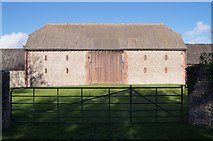
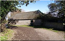
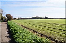
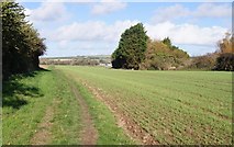
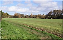
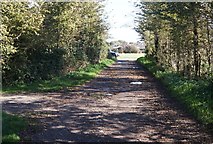
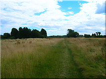
12 images in cluster East Kingston Farm in TQ0802
Image clustering - assigning images labels - is an automated process, based on the image title/description. It's not totally accurate, and can sometimes assign images to odd clusters
in TQ0802, near East Kingston
Explore these images in the Browser or Explore matching images including in surrounding squares (if any!)
Other Automatic clusters in TQ0802
- East Kingston
- Path
- Name of the Field According
- Farmland
- East Kingston Farm
- Footpath 2114/1
- Ferring Country Centre
- Field According to Kingston's 1841 Tithe Map
- New Cote Farm
- Railway
- East Preston
- Bridge
- Drainage Ditch
- House
- Caravan Park
- Footbridge
- Public Footpath
- South Downs
- Field Margin
- Bridge over Ferring Rife
- Fine
- Rain
- Brook Lane Caravan Park
- New Fencing
- Post Harvest
- Pond
- Path Alongside Ferring Rife
- Coastal Plain between Worthing and Chichester
- Crop
- Dencher Field Lower Barn Field Long Lakes
- Farm Track
- Arable Land