Showing most recent first, in descending order
4 images in cluster East of Kenfig Hill in SS8482
Image clustering - assigning images labels - is an automated process, based on the image title/description. It's not totally accurate, and can sometimes assign images to odd clusters
in SS8482, near Cefn Cribwr
Explore these images in the Browser or Explore matching images including in surrounding squares (if any!)
Other Automatic clusters in SS8482
- Spot on Waun Bant Road
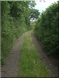
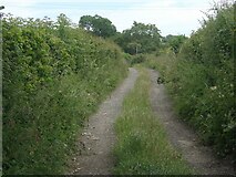
- East of Kenfig Hill
- Mean Sea Level
- Mynydd Bach Common
- Mountain Lane Seen
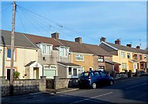
- Road through the Village
- Ordnance Survey Cut Mark
- Bellach Yn Llwybr Yn
- Looking
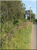
- Flowers
- Church
- Western Boundary of Cefn Cribwr