Showing most recent first, in descending order
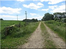
5 images in cluster Farm Track in TA2269
Image clustering - assigning images labels - is an automated process, based on the image title/description. It's not totally accurate, and can sometimes assign images to odd clusters
in TA2269, near Flamborough
Explore these images in the Browser or Explore matching images including in surrounding squares (if any!)
Other Automatic clusters in TA2269
- Headland Way
- South Landing
- Near
- South Sea Road
- Headland Way towards South Landing
- Flamborough Village
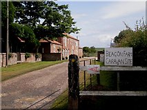
- Beacon Farm
- Footpath to Beacon Hill
- Looking
- Heading
- Path
- East
- Cliff Top
- House
- South Seas Rd
- Hartendale Gutter
- Farm Track
- Approaching
- Coastal Farmland
- View from Headland Way
- Public Footpath
- Rocks at Low Tide
- Track Leading
- West Nook
- World War II Concrete Pillbox
- Caravan
- Crop Field
- Flamborough Bowling Club
- Footpath SW of Flamborough
- Highcliffe Manor
- Houses on South Sea Road
- Path Leading to Home Farm Plantation
- Field Entrance off South Sea Road
- Dyke Nature Reserve
- Sewage Works
- Turf Zone
- Converted to Holiday Cottages
- Large Wheat Field
- Line