Showing most recent first, in descending order
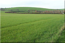
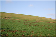
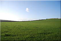
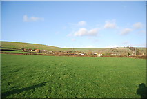
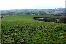
5 images in cluster Farmland in SY5490
Image clustering - assigning images labels - is an automated process, based on the image title/description. It's not totally accurate, and can sometimes assign images to odd clusters
in SY5490, near Litton Cheney
Explore these images in the Browser or Explore matching images including in surrounding squares (if any!)
Other Automatic clusters in SY5490
- Litton Cheney
- White Horse
- Chalk Pit Lane
- Farmland
- Road
- Pins Knoll
- Stream
- Footpath W12 10
- Cottage
- Near Litton Cheney
- Bride Valley
- Small
- White Cross
- Pub
- Ordnance Survey Benchmark
- Looking
- House
- Court
- Countryside
- Coombefield Farm
- Clay Pits Lane
- Youth Hostel