Showing most recent first, in descending order
3 images in cluster Field in NJ6404
Image clustering - assigning images labels - is an automated process, based on the image title/description. It's not totally accurate, and can sometimes assign images to odd clusters
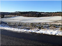
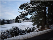
in NJ6404, near Tornaveen, by Stanley Howe
When: 24 November, 2017
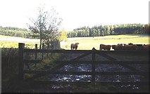
When: 1 November, 2012
When: 3 December, 2008
Explore these images in the Browser or Explore matching images including in surrounding squares (if any!)
All images  © Stanley Howe and licensed for reuse under this Creative Commons Licence
Other Automatic clusters in NJ6404
- B993 on Learney Hill
- Turk Wood
- Minor Road
- East Learney
- Learney Estate
- Minor Road from Corquhittachie
- Torphins
- Corquhittachie from B993
- Road from Corquhittachie to Netherlands
- Approach
- Driveway to Learney House
- Near Summit
- West
- Netherlands' Shelter Belt
- Learney Brae
- Junction
- Field
- Farm
- Access to Dunswell
- Ordie Caber
- Entrance to Learney House
- Track to Dunswell
- Area