Showing most recent first, in descending order
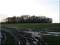
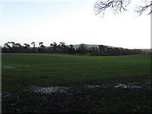
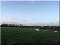
3 images in cluster Field According to the 1839 Tithe Map in TQ4114
Image clustering - assigning images labels - is an automated process, based on the image title/description. It's not totally accurate, and can sometimes assign images to odd clusters
in TQ4114, near Barcombe/TQ4114, taken Sunday, 6 December, 2009, by Simon Carey
Explore these images in the Browser or Explore matching images including in surrounding squares (if any!)
All images  © Simon Carey and licensed for reuse under this Creative Commons Licence
Other Automatic clusters in TQ4114
- St Mary the Virgin
- Barcombe Church
- St Mary's Church
- Stained Glass Windows
- Memorial
- St Mary the Virgin Church Barcombe
- Church Road
- Mill Lane
- Footpath
- Junction
- Court House
- Parish
- Lodge
- Banner
- Croft Ham
- Field According to the 1839 Tithe Map
- East Sussex
- Barcombe- View from the Churchyard
- Countryside Near Barcombe
- Village of Barcombe
- Thatched Horse-gin
- Barcombe Nursery
- Cottage
- Hamsey Road
- Organ
- Near St
- Lower Spring Mead
- Graveyard
- Wooden