Showing most recent first, in descending order
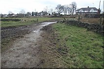
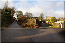
2 images in cluster Footpath in SD7013
Image clustering - assigning images labels - is an automated process, based on the image title/description. It's not totally accurate, and can sometimes assign images to odd clusters
in SD7013, near Horrocks Fold
Explore these images in the Browser or Explore matching images including in surrounding squares (if any!)
Other Automatic clusters in SD7013
- Dunscar
- Gleaves Reservoir
- A675 Belmont Road
- Longworth Lane
- Quarry
- Near Dunscar
- Bridlepath
- Egerton
- Wood
- Galebrook
- Tree
- Land
- Gale Brook
- Footpath
- Dunscar Golf Course
- Cubbins Farm
- Bridleway
- Bridlepath between Horrocks Fold and Gleaves Reservoir
- Barn
- Woodland