Showing most recent first, in descending order
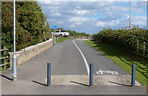
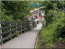
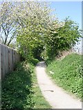
4 images in cluster Footpath in SE3629
Image clustering - assigning images labels - is an automated process, based on the image title/description. It's not totally accurate, and can sometimes assign images to odd clusters
in SE3629, near Rothwell/SE3428
Explore these images in the Browser or Explore matching images including in surrounding squares (if any!)
Other Automatic clusters in SE3629
- Woodlesford Lock
- Aire and Calder Navigation at Woodlesford
- Church Street
- Pottery Lane
- Woodlesford Station
- Wood Sculpture
- Aberford Road
- Boat on the Aire and Calder Navigation
- Holmsley Lane
- Ordnance Survey Cut Mark Benchmark Described
- Yorkshire
- Near Woodlesford
- Boats Moored
- Juniper Avenue
- Applegarth
- Walk from Oulton Church
- North towards Leeds
- River
- Northwood Falls
- Footpath
- Alongside
- Looking West
- Towpath
- Woodlesford Methodist Church
- Laurence Court
- Area
- Long Time
- Village Green
- View from Bridge TJC3-239
- Traffic Light
- Staggered Platforms since its Opening in 1840
- Information Board
- Norok
- Pointers Public House
- Eastbound Platform
- Saints Circle


