Showing most recent first, in descending order
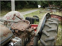
2 images in cluster Footpath in SE6691
Image clustering - assigning images labels - is an automated process, based on the image title/description. It's not totally accurate, and can sometimes assign images to odd clusters

Explore these images in the Browser or Explore matching images including in surrounding squares (if any!)
Other Automatic clusters in SE6691
- House
- Hope Inn Farm
- Boon Hill
- Grays Farm
- Common House
- Bransdale Road
- Map
- Scarp Slope and a Suspicious Line
- Showing Position of Postbox
- Tabular Hills
- Taken
- Near Sykes House
- Near Grays
- Looking North
- Harland Moor
- Gillamoor and Fadmoor
- Footpath
- Westside Road