Showing most recent first, in descending order
images in cluster Footpath in SK1389
Image clustering - assigning images labels - is an automated process, based on the image title/description. It's not totally accurate, and can sometimes assign images to odd clusters
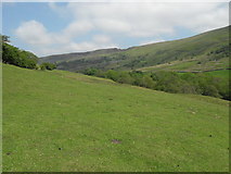
in SK1389, near Grindsbrook Booth, taken Thursday, 2 June, 2011, by marplerambler
Explore these images in the Browser or Explore matching images including in surrounding squares (if any!)
All images  © marplerambler and licensed for reuse under this Creative Commons Licence
Other Automatic clusters in SK1389
- Ashop
- Hayridge Farm
- A57 Snake Road
- Blackden Barn
- River Ashop
- Blackden View Farm
- Peak District
- Footpath Sign
- Ashop Valley
- Farm from Ashop Moor
- Edge
- Picture
- Slopes of Kinder
- Track
- West