Showing most recent first, in descending order
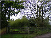
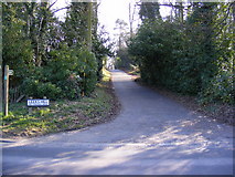
2 images in cluster Footpath in TM2750
Image clustering - assigning images labels - is an automated process, based on the image title/description. It's not totally accurate, and can sometimes assign images to odd clusters
in TM2750, near Woodbridge/TM2649, by Geographer
When: 3 May, 2012
When: 4 March, 2011
Explore these images in the Browser or Explore matching images including in surrounding squares (if any!)
All images  © Geographer and licensed for reuse under this Creative Commons Licence
Other Automatic clusters in TM2750
- Junction with the A1152 Woods Lane
- Melton Road
- Bridleway to Valley Farm Road
- Looking
- Longwood Fields Development
- Woodbridge
- Bury Hill
- Melton Hill
- Melton Playing Fields
- Leeks Hill
- Godfreys Wood
- Saxon Way
- Near to Melton
- Saddlemakers Lane
- Hall Farm Road Postbox
- Looking towards the A12 Grove Road
- Entrance to Longwood Fields Development
- Footpath
- Godfreys Wood Sign
- Longwood Fields Development Sign