Showing most recent first, in descending order
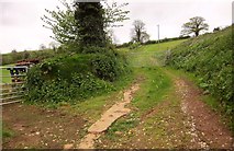
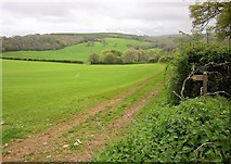
2 images in cluster Footpath BW in ST1935
Image clustering - assigning images labels - is an automated process, based on the image title/description. It's not totally accurate, and can sometimes assign images to odd clusters
in ST1935, near Aisholt, taken Saturday, 26 April, 2014, by Derek Harper
Explore these images in the Browser or Explore matching images including in surrounding squares (if any!)
All images  © Derek Harper and licensed for reuse under this Creative Commons Licence
Other Automatic clusters in ST1935
- Lower Aisholt
- Field
- Aisholt Valley
- Aisholt Wood
- Quantock
- Near Lower Aisholt
- Lane between Aisholt and Lower Aisholt
- Footpath BW
- Farm Buildings
- Church
- Turf Cutting Near Aisholt