Showing most recent first, in descending order
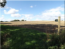
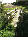
2 images in cluster Footpath to Roamwood Green Lane in TM1663
Image clustering - assigning images labels - is an automated process, based on the image title/description. It's not totally accurate, and can sometimes assign images to odd clusters
in TM1663, near Debenham, taken Saturday, 12 September, 2015, by Geographer
Explore these images in the Browser or Explore matching images including in surrounding squares (if any!)
All images  © Geographer and licensed for reuse under this Creative Commons Licence
Other Automatic clusters in TM1663
- River Deben
- Stoney Lane
- Sign
- Henry Street Postbox
- Longest Ford
- Taken from Gracechurch Street
- Entrance Footpath to Derry Brook Farm
- Derrybrook Farm
- Called Stoney Lane
- Mendlesham Transmission Tower
- Bridge over the River Deben
- High School
- Henry Street Sign
- Footpath to Roamwood Green Lane
- Fields Looking
- Debenham Village Name Sign
- Taken from Gracechurch Street Close