Showing most recent first, in descending order
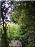
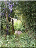
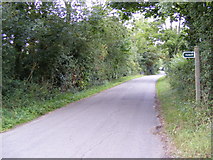
3 images in cluster Footpath to the B1079 Grunsdisburgh Road in TM2153
Image clustering - assigning images labels - is an automated process, based on the image title/description. It's not totally accurate, and can sometimes assign images to odd clusters
in TM2153, near Clopton Corner, taken Friday, 12 August, 2011, by Geographer
Explore these images in the Browser or Explore matching images including in surrounding squares (if any!)
All images  © Geographer and licensed for reuse under this Creative Commons Licence
Other Automatic clusters in TM2153
- Clopton
- B1079 Grundisburgh Road
- Snipe Farm Lane
- Road Junction
- Market Hill
- Postbox No IP13 6215
- B1078 Junction
- Near
- Footpath to the B1079 Grunsdisburgh Road
- River Lark
- Looking East
- Junction with Market Hill Snipe Farm
- Green
- B1079 Near to Potash Farm
- B1079 Grundisburgh Road Potash Corner Postbox
- Taken from Snipe Farm Lane