Showing most recent first, in descending order
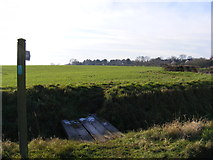
9 images in cluster Footpath to the Street in TM2980
Image clustering - assigning images labels - is an automated process, based on the image title/description. It's not totally accurate, and can sometimes assign images to odd clusters
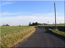
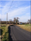
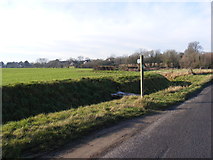
in TM2980, near Metfield, taken Tuesday, 17 January, 2012, by Geographer
Explore these images in the Browser or Explore matching images including in surrounding squares (if any!)
All images  © Geographer and licensed for reuse under this Creative Commons Licence
Other Automatic clusters in TM2980
- Christmas Lane
- Footpath
- B1123 Harleston Road
- St John the Baptist's Church in Metfield
- Sign
- Metfield Village
- Junction with Metfield Road
- Junction with Christmas Lane
- Near
- Junction with Skinner's Lane
- Footpath to the Street
- Postbox No.IP20
- Exterior View
- Fressingfield Road
- Cottages
- Roadsign
- Metfield Suffolk
- Corner Postbox
- Cottages along the Street
- St.Johns Meadow
- Roadsign on Christmas Lane
- Street Farm
- Entering Metfield on the B1123 Harleston Road
- Chapel
- Mill Lane
- Metfield Stores
- Shelter
- Footpath to Brames Lane
- St.John the Baptist Church
- 353rd Fighter Group