Showing most recent first, in descending order
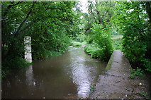
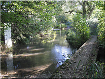
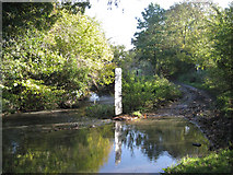
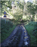
4 images in cluster Ford on Preston Field Lane in SP1767
Image clustering - assigning images labels - is an automated process, based on the image title/description. It's not totally accurate, and can sometimes assign images to odd clusters
in SP1767, near Lowsonford
Explore these images in the Browser or Explore matching images including in surrounding squares (if any!)
Other Automatic clusters in SP1767
- Holly Bank Farm
- Bush Wood
- Plantation
- Brookhouse Farm
- Bushwood Bridleway W25
- Hazelwood Road
- Lowsonford
- Ford on Preston Field Lane
- South of Coppice Corner Farm
- Line
- Near Coppice Corner Farm
- Willowbrook House
- Liable to Flooding
- Woodland East of Coppice Corner Farm
- Henley Road Bridges Tapster Brook
- Bridge over Dismantled Railway
- Tapster Brook Valley
- Belt of Trees
- Average House Price is well over 500,000