Showing most recent first, in descending order
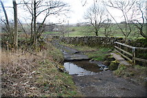
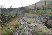
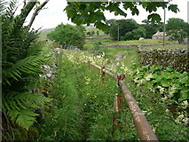
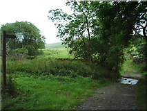
4 images in cluster Fords on the Byway in SD7299
Image clustering - assigning images labels - is an automated process, based on the image title/description. It's not totally accurate, and can sometimes assign images to odd clusters
in SD7299, near Fell End/SD7298
Explore these images in the Browser or Explore matching images including in surrounding squares (if any!)
Other Automatic clusters in SD7299
- Valley
- Sandbed
- Dovengill Lane
- Flank of Harter Fell
- Low Sprintgill Farm
- Fords on the Byway
- Ruined Barn
- Ordnance Survey Cut Mark Benchmark Described
- House
- Gillbeck Bridge
- Footpath
- Converted Wesleyan Chapel
- Limestone
- Wandale Hill
- Studfold
- Church
- Dales
- Wesleyan Methodist Chapel