Showing most recent first, in descending order
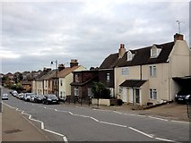
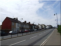
2 images in cluster Gads Hill in TQ7868
Image clustering - assigning images labels - is an automated process, based on the image title/description. It's not totally accurate, and can sometimes assign images to odd clusters
in TQ7868, near Gillingham/TQ7767, by Chris Whippet
Explore these images in the Browser or Explore matching images including in surrounding squares (if any!)
All images  © Chris Whippet and licensed for reuse under this Creative Commons Licence
Other Automatic clusters in TQ7868
- Priestfield Stadium
- Woodlands Road
- Gillingham F.C.
- Ingram Road Gillingham Road
- Church Path
- Grange Road
- Gillingham Football Club
- Gillingham Level Crossing
- St Mary's Cemetery
- Medway House
- St Mary Magdalene Church
- Church Street
- Railway Line
- Ferndale Road
- Redfern Avenue
- Woodlands Cemetery
- Building
- Tangmere Close
- Grange Rd
- Gordon Road Stand at Priestfield Stadium
- Gillingham Green
- Football Ground
- Chicago Avenue
- Saxon Shore
- Maple Avenue
- Background is Houses
- Eastern
- Cavendish Avenue
- Gillingham Parish Church Cemetery
- Castlemaine Avenue
- Brian Moore Stand at Priestfield Stadium
- Portland Road
- Ingram Rd
- Granville Road
- Shed
- Snow Covered
- Dial Road
- Renovated into a Shop and 8 Flats
- Remote Controlled Mower on the thick Grass
- Gads Hill
- Radio Kent
- Parochial Hall
- Leet Close
- Livingstone Rd