Showing most recent first, in descending order
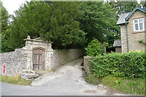
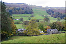
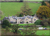
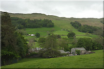
4 images in cluster Gate Manor in SD6689
Image clustering - assigning images labels - is an automated process, based on the image title/description. It's not totally accurate, and can sometimes assign images to odd clusters
Explore these images in the Browser or Explore matching images including in surrounding squares (if any!)
Other Automatic clusters in SD6689
- Farm
- Road
- Gale Garth
- Gate Manor
- Scar Wood
- Looking
- River Dee
- Rash Bridge
- Ordnance Survey Cut Mark Benchmark Described
- Brackensgill Lane
- Moser Hill Brow
- Valley
- Grade II Listed
- Near Gale Manor
- Old Milestone
- Lenacre
- Junction with the Roadside Wall
- Dales Way is a 82 Mile Route
- Cowclose Hill
- Lower Dentdale