Showing most recent first, in descending order
7 images in cluster George Street in SE2421
Image clustering - assigning images labels - is an automated process, based on the image title/description. It's not totally accurate, and can sometimes assign images to odd clusters
Explore these images in the Browser or Explore matching images including in surrounding squares (if any!)
Other Automatic clusters in SE2421
- Dewsbury Minster
- Dewsbury Station
- North side of the North
- Daisy Hill
- Northgate
- Westgate
- Dewsbury Railway Station
- Foundry Street
- Market Place
- Entrance
- Corporation Street
- Part of Dewsbury
- Town Hall
- Tower
- Crackenedge Lane
- Church Street
- South Street
- River Calder
- Pioneer House
- Bond Street
- Aldams Road
- Building Dates
- Ring Road
- Pioneers Industrial Society
- Old Westgate
- Dewsbury Market Place
- Halifax Road
- Wakefield Road
- Savile Road
- Union Street
- South Aisle
- Victorian Chancel
- Heritage Centre
- Methodist Church
- Calder Valley Greenway
- St Paulinus Chapel
- Webster Hill
- East Window
- Savile Bridge
- Wilton Street
- Post Box can be Seen
- Public House
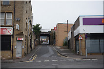
- George Street
- West Corner
- Benchmark Levelled
- Grosvenor Street
- Wharf Street
- Built in 1872
- Station Hotel
- Elim Church
- School Street
- Battye Street
- Station Bar
- Old Turk
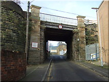
- Bridge Carrying
- Upper-storey Meeting Hall
- Station Sign
- Police Station
- Wider View
- Saints was therefore Restored to Minster Status
- Viewed from Near
- Newspaper Offices
- Oldest Parts Date from the Thirteenth Century
- Great Northern Railway's Central
- Goods Lane
- Top of Wellington
- Textile Mill
- Spinkwell Mill
- Clock Tower
- Princess of Wales Shopping
- Newlyn Datum on a Wall
- Entrance to the Arcade
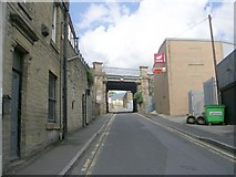
- Railway Viaduct
- Covered Market
- Looking very Smart
- Alternative View
- London and North-western Railway
- Known as Daisy Hill Methodist Church
- Viewed from Wormald Street
- Coffee Shop
- Charity Shop
- Ye Market