Showing most recent first, in descending order
4 images in cluster Grade I Listed in TQ6860
Image clustering - assigning images labels - is an automated process, based on the image title/description. It's not totally accurate, and can sometimes assign images to odd clusters
in TQ6860, near Birling/TQ6860
Explore these images in the Browser or Explore matching images including in surrounding squares (if any!)
Other Automatic clusters in TQ6860
- Footpath
- Near Birling
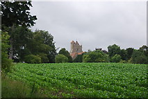
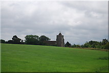
- Saints Church across the Village of Birling
- Birling Ashes
- Snodland Road
- Flower Festival
- Field of Maize
- Bull Road
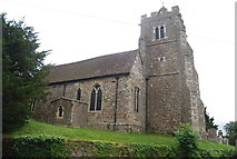
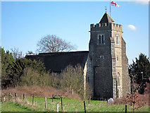
- Grade I Listed
- Churchyard
- Looks from the Top of the Tower
- Saints Church is Placed above the Village
- Birling Village Sign
- Legge Lane
- Large Wheat Field
- Kent
- House
- Bridleway Heading South
- Park
- Parson's Corner
- Centre of the Village
- Coppicing
- Ditch and Earthbank in a Wheat Field