Showing most recent first, in descending order
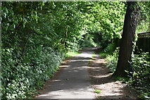
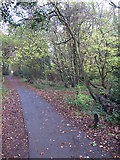
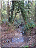
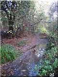
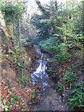
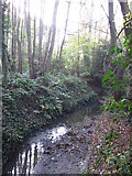
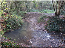
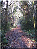
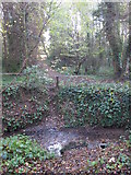
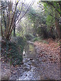
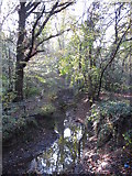
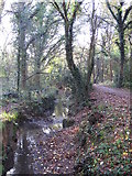
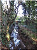
13 images in cluster Gumping Common in TQ4466
Image clustering - assigning images labels - is an automated process, based on the image title/description. It's not totally accurate, and can sometimes assign images to odd clusters
Explore these images in the Browser or Explore matching images including in surrounding squares (if any!)
Other Automatic clusters in TQ4466
- East Branch
- Footpath
- Roundabout Wood
- Petts Wood
- Towncourt Lane
- Crofton Woods
- St Thomas' Drive
- Gumping Common
- Sparrow Drive
- Orpington
- West of St
- South of Eynsford Close
- Footbridge over the Kyd Brook
- Stables
- East of the Stables
- Petts Wood Recreation Ground
- Path
- West of Monks Way
- West of Heath
- South Eastern Main Line
- Area
- Beaumont Road
- Oregon Square
- Named after Neighbouring Sparrow Wood
- Bushey Avenue
- West of Derwent Drive
- Branch Runs
- Development of Semi Detached and Detached Houses
- Drain Feeding the Kyd Brook
- Cross
- School for Children Aged
- Eynsford Close Allotments
- Bend
- London Loop
- Part of the 1970s Place Farm Estate
- Backing onto Roundabout Wood in the Background
- Park