Showing most recent first, in descending order
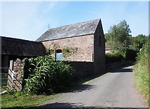
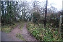
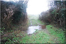
3 images in cluster Halsway Lane in ST1337
Image clustering - assigning images labels - is an automated process, based on the image title/description. It's not totally accurate, and can sometimes assign images to odd clusters
Explore these images in the Browser or Explore matching images including in surrounding squares (if any!)
Other Automatic clusters in ST1337
- Trees
- Quantock Greenway
- Lower Halsway
- Crowcombe Village
- Footpath
- Quantock Hills
- Halsway Lane
- Recreation Ground
- Small
- A358 Taunton-Minehead Road
- Northern Route is 31Km 20 Miles
- Hurley Lane
- Hurley Farm
- Gate on the Old Road
- Field
- Climb
- Woodland