Showing most recent first, in descending order
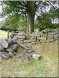
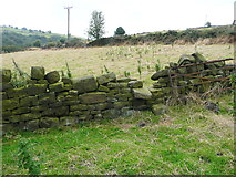
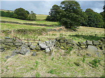
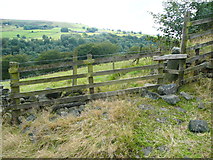
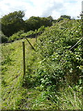
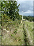
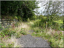
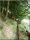
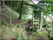
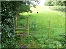
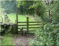
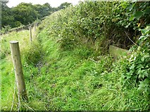
19 images in cluster Hebden Royd FP17 in SE0026
Image clustering - assigning images labels - is an automated process, based on the image title/description. It's not totally accurate, and can sometimes assign images to odd clusters
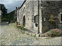
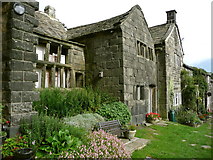
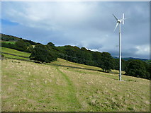
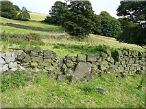
in SE0026, near Hebden Bridge, by Humphrey Bolton
When: 18 August, 2014
When: 18 August, 2014
When: 18 August, 2014
When: 18 August, 2014
When: 18 August, 2014
When: 18 August, 2014
When: 18 August, 2014
When: 11 August, 2014
When: 11 August, 2014
When: 11 August, 2014
When: 11 August, 2014
When: 11 August, 2014
When: 9 September, 2013
When: 9 September, 2013
When: 9 September, 2013
When: 9 September, 2013
When: 10 September, 2012
When: 10 September, 2012
When: 3 September, 2012
Explore these images in the Browser or Explore matching images including in surrounding squares (if any!)
All images  © Humphrey Bolton and licensed for reuse under this Creative Commons Licence
Other Automatic clusters in SE0026
- Landcover: Improved grassland
- Landcover: Broadleaf woodland
- Landcover: Suburban
- Hebden Royd Footpath
- Rochdale Canal
- Hebden Bridge
- Broad
- Broadbottom Lock
- Burnley Road
- Burlees
- Roger Gate
- Near
- Hebden Royd FP17
- River Calder
- Walkley's Clogs
- Stephenson House
- Clog Works
- Hawksclough
- East
- Calder Brook
- Part of Hebden Royd
- Hebden Royd FP44
- Sign
- Tree
- Tunnel
- Walkleys Canalside Mill
- Falling Royd
- Hebden Royd Footpath 18
- Great Stubb
- Approaching
- Souter House Branch
- Hebden Royd Footpath 47
- Waymark Post
- Looks Like
- Route 66
- Crow Nest Road
- Saw Mill
- Cart Track
- Building at Carr Farm
- Redacre Wood
- Raw Lane
- Little Stubb
- Playing Field
- Stream Flow
- Gap in the Wall
- Path Junction
- Parapet has been Damaged
- Stile Shown
- Old Gateway
- Runs Alongside
- Agricultural Building
- New Owner
- Milestone Society National ID
- Railway Line
- Ordnance Survey Cut Mark Benchmark Described