Showing most recent first, in descending order
3 images in cluster Hill Fell in SD3299
Image clustering - assigning images labels - is an automated process, based on the image title/description. It's not totally accurate, and can sometimes assign images to odd clusters
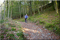
in SD3299, near Hawkshead Hill
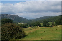
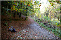
When: 20 October, 2007
By: Phil Champion
Explore these images in the Browser or Explore matching images including in surrounding squares (if any!)
Other Automatic clusters in SD3299
- Tom Gill
- Road from Tarn Hows
- Path beside the Tarns
- View across Tarn Hows
- Near Tarn Hows
- Car Park
- Tarn Hows Cottage
- Route of the Cumbria Way
- Popular Tourist
- Tom Gill Waterfall
- Public Footpath
- Looking
- Langdale Pikes
- Wetherlam
- Start
- Western
- Tom Ghyll
- Tarn Hows Intake
- Monk Coniston
- Glen Mary Bridge
- Gate
- Island
- Lakeland
- Autumn Colours
- Woods
- Autumn Day
- Group of Walkers
- Hill Fell
- Reflections
- Lane Head
- Yew Tree Farm
- Late Afternoon Sunlight at Tarn Hows
- Narcissus
- Tree Covered
- Summer
- Entrance
- Stream
- Southern